Cet article est une nouvelle publication, revue, d’un article paru le 26 mai 2020 : voir la version d’origine.
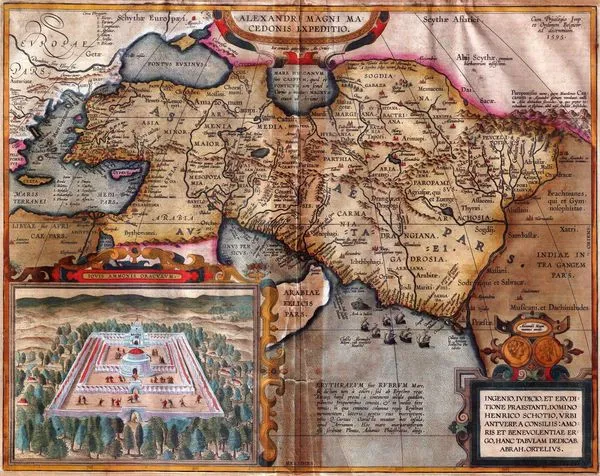
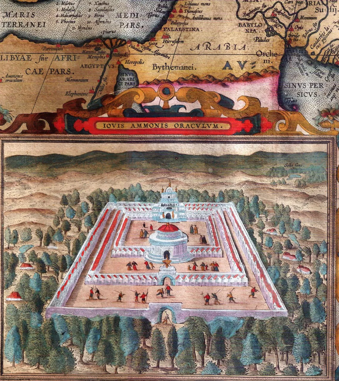
Date of the first edition: 1595 -Date of this map: 1601 Size: 36 x 47cm (14 x 18.2 inches) Verso text: Latin From: Theatrum Orbis Terrarum Abrahami Ortelii Antverp. Geographi Regii. Antwerpen, Plantin Press, 1601.
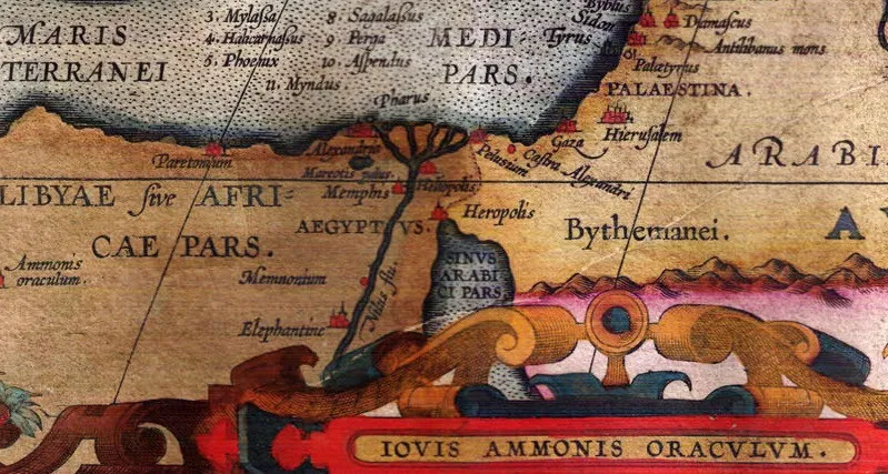
The position of the "Iovis Ammonis Oraculum" is clearly seen, namely the Siwa Oasis. The author added a drawing of what he thought was the arrangement of the temple of the oracle according to the description given by Pausanias. In the background we can also see the "Solis Fons" described by Herodotus.
 Agrandir
 Agrandir
 Agrandir